A plat of survey and a boundary survey are two different documents, but many property owners use the terms as if they mean the same thing. Both involve a licensed land surveyor working on a property, and both deal with land measurements and property lines. The difference is what each one shows, how it gets used, and when you need one over the other. Knowing that difference can help you ask the right questions and get the right document for your project.
What Is a Plat of Survey?
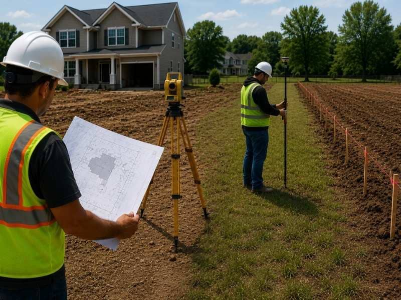
A plat of survey is a drawn map of a property made by a licensed land surveyor. It shows the shape and size of the lot, the location of property lines, and where buildings, driveways, fences, and other features sit on the land. The map uses measurements and angles to show how everything on the property lines up with the boundary.
In many cases, this document gets filed with a local government office, which makes it part of the official property record. Lenders, title companies, and building departments often ask for a plat of survey when a property changes hands or when a permit application needs a drawing of the existing site. It gives everyone a clear, shared picture of what the property looks like on paper.
What Is a Boundary Survey?
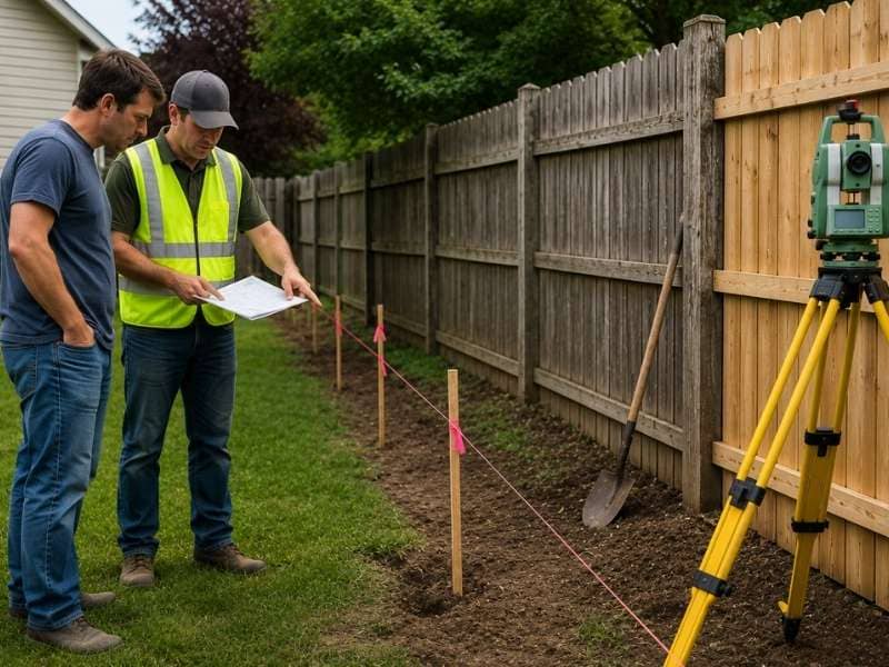
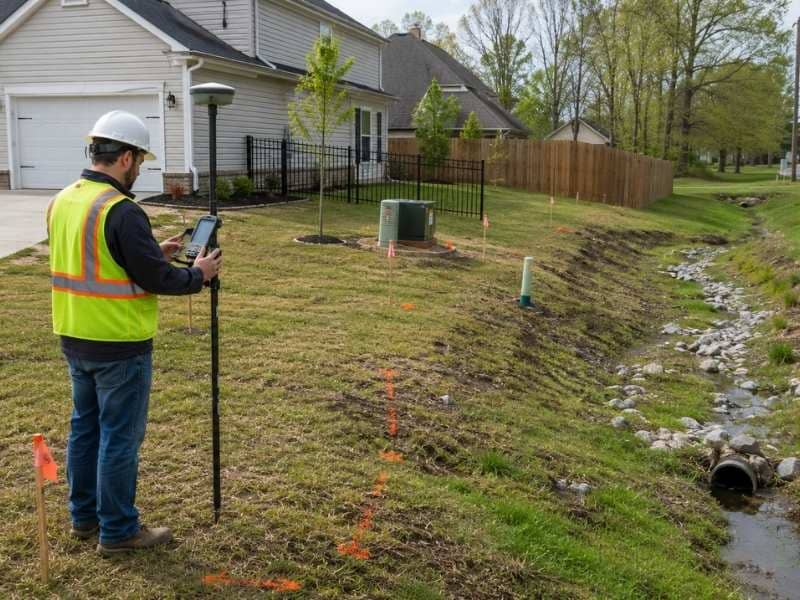
A boundary survey has one main job: finding and confirming where the legal property lines fall. A licensed surveyor looks at the recorded deed and plat, finds existing property corner markers, and takes measurements to make sure the boundary on paper matches what is on the ground. The result is a confirmed location of the property lines, often marked with stakes or pins at the corners.
A boundary survey does not always produce a full drawn map of the property. Its job is to answer where the lines are. Property owners often order one when they want to know exactly where their lot ends before building a fence, starting a project, or settling a question with a neighbor about the shared line.
Plat of Survey vs. Boundary Survey: What Makes Them Different?
The biggest difference is what each one produces and what it gets used for. A boundary survey confirms where the property lines are and may set corner markers, but it does not always result in a full map showing buildings and other site features. A plat of survey goes further by creating a complete drawn document that shows both the boundary lines and what exists on the property within those lines.
A boundary survey answers where the lines are. A plat of survey answers where the lines are and what the property looks like. Because a plat of survey includes more detail, it takes more time to prepare. It is also required in more formal situations, such as real estate closings, permit submissions, and land subdivision. A boundary survey is often enough when the only goal is confirming the property lines for a specific project.
When Do You Need a Plat of Survey?
A plat of survey is most often needed when a property transaction or a local rule calls for a formally drawn document showing the full site. Real estate closings often require one so that the lender and title company can confirm what is being bought and sold. Local building departments may ask for one as part of a permit application for a new structure or a large addition.
Dividing a larger parcel into smaller lots also requires a plat of survey, since the new lot lines and shared features need to be drawn and filed on record. If a property has not had a survey done in many years and major changes have been made to the site, a new plat of survey creates an updated record that matches current conditions. Any time an official, filed map of the property is needed, a plat of survey is the right document.
How to Know Which Survey Is Right for You
The type of survey you need depends on what you are trying to do. If you want to know where your property lines fall before building a fence or settling a boundary question, a boundary survey is likely enough. It confirms the lines and can place physical markers at the corners without requiring a full drawn map of the site.
If you are buying or selling a property, applying for a building permit, refinancing, or dividing land into separate lots, a plat of survey is more likely what you need. The best way to find out is to describe your project to a licensed land surveyor. They can tell you which document fits your situation and what the finished product will look like.
Frequently Asked Questions
What is a plat of survey?
A plat of survey is a drawn map of a property made by a licensed land surveyor. It shows the property lines, lot size, and the location of buildings, fences, driveways, and other features on the land. It is often filed with a local government office and used in real estate transactions, permit applications, and land division.
Is a plat of survey the same as a boundary survey?
No. A boundary survey confirms where the property lines fall and may set corner markers, but it does not always produce a full drawn map. A plat of survey creates a complete drawing that shows both the boundary lines and the existing features on the property. A boundary survey answers where the lines are. A plat of survey shows what the whole property looks like.
When should I get a plat of survey?
A plat of survey is typically needed for real estate closings, building permit applications, refinancing, and land subdivision. It is also useful when a property has not been surveyed in many years and an updated official record is needed.
Can a boundary survey help find property lines?
Yes. A boundary survey is made to find and confirm property lines. The surveyor looks at the recorded deed and plat, finds existing corner markers, and takes measurements to make sure the boundary on paper matches the ground. Stakes or pins are often set at the corners so the lines are easy to see.
Who can prepare a plat of survey?
Only a licensed land surveyor can prepare a plat of survey. A licensed surveyor has the training and legal right to measure land, read recorded property records, and create official survey documents. The finished plat carries the surveyor’s seal and signature, which gives it legal standing for use in real estate transactions and permit applications.