
What a Surveyor Looks for Before a Permit Application Is Submitted
Before a permit application goes to the building department, a surveyor gathers important information about the property. They find the true property lines, record existing features, study the land, and identify legal limits that affect construction.
Doing this work before filing a permit helps avoid delays. Missing or incorrect information is one of the main reasons permit reviews get slowed down.
How a Surveyor Checks Property Lines
A surveyor starts by locating the legal property lines. They review the deed and plat records, find property markers, and measure the distances shown in those records. Their goal is to make sure the information on paper matches the conditions on the ground.
This step is important because building setbacks are measured from the actual property line, not from a fence or an estimate. If the wrong boundary is used, the plans may have to be changed later. Finding the correct lines early helps prevent costly delays.
What a Surveyor Records on the Property
After confirming the boundary, the surveyor records the features already on the site. These may include:
- Buildings
- Fences
- Driveways
- Walkways
- Utility lines
- Other visible improvements
Each feature is placed in its correct location on the survey drawing.
This information gives designers and permit reviewers a clear picture of the property. It helps them see whether anything on the site could interfere with the proposed project. Without accurate information, mistakes are more likely to happen.
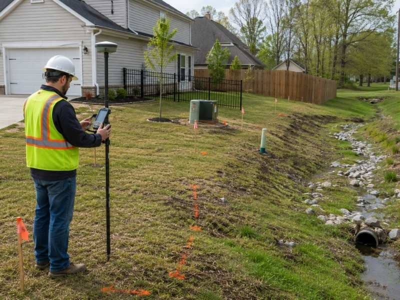
Why Elevation and Drainage Matter
As communities grow, more land gets covered by homes, roads, and other structures. This leaves fewer places for rainwater to soak into the ground. Because of this, many building departments require elevation and drainage information during permit review.
A surveyor studies the shape of the land and identifies low areas. This information shows how water moves across the property and whether it drains toward or away from buildings.
Permit reviewers use this data to make sure new construction follows local drainage rules. Having this information ready before filing can prevent delays.
How a Surveyor Finds Legal Restrictions
Some property limits are not visible during a site visit. They are found in recorded documents.
These may include:
- Utility easements
- Drainage easements
- Right-of-way lines
These restrictions affect where a structure can legally be built.
A surveyor reviews these records and shows them on the survey drawing. When designers can see these limits, they can avoid placing buildings in areas that would not meet permit requirements.
How Missing Records Can Delay a Permit
Some properties have missing or outdated records. For example:
- A previous addition may have been built without a permit.
- An old survey may not match current conditions.
- Property corner markers may have been disturbed or moved.
If these problems are discovered during permit review, the application may be delayed.
A surveyor can investigate these issues before the permit is filed. They may locate missing markers, update records, and document current conditions. Solving these problems early is usually faster than fixing them after the permit process has already begun.
Frequently Asked Questions
What does a surveyor do before a permit application is submitted?
A surveyor locates the property lines, records existing features, checks elevation and drainage, and identifies legal restrictions. This information is placed on a survey drawing that designers and permit reviewers use.
Why is a surveyor important for a permit application?
Permit reviewers need accurate information to confirm that a project follows setback, drainage, and easement requirements. A surveyor provides the measurements needed for these checks. Without them, applications often require additional review.
Do all projects require a survey before getting a permit?
Not every project needs a survey. However, new construction, building additions, and projects close to property lines or easements often require survey information. Local rules vary by project and location.
How long does a survey take?
The time depends on the size of the property and the amount of available information. A small residential lot may take less time than a larger property with missing records. A licensed surveyor can provide a more accurate estimate.
Why are more property owners getting surveys before filing permits?
As development increases, many building departments require more information before approving permits. Property owners who submit complete survey information often experience fewer delays and less back-and-forth during the review process.